 East Cooper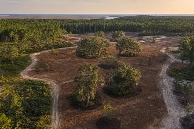

East Cooper Land Clearing pairs Mount Pleasant property owners with a local land clearing contractor for developer land management in Mount Pleasant and the East Cooper communities around it.
Land east of the Cooper is increasingly held in phases: acquired now, entitled over years, built in stages. The Cainhoy Plantation tract is the region's defining example — roughly 9,000 acres approved for up to 18,000 homes, with about half the land conserved and the rest developing over a horizon measured in decades. Between phases, that land does not wait politely; it grows.
What it grows is specific. Chinese tallow seeds aggressively into cleared and disturbed ground and can dominate open habitat within about ten years; wax myrtle suckers outward into colonies; volunteer pine fills every gap. A tract cleared for Phase 1 and left alone becomes a re-clearing expense by Phase 3, which is the entire economic argument for managed maintenance — scheduled mulching passes cost a fraction of clearing the same growth after it hardens into a stand.
Management also keeps held land usable while it waits. Open corridors give survey and geotech access without remobilization, maintained perimeters keep encroachment visible, and a tract that stays clean presents better to lenders, partners, and permitting staff than one disappearing behind a tallow wall. On tracts touching tidal waters, maintained upland buffers also keep the SCDES critical-area line locatable and respected as phases advance toward it.
The arrangement is straightforward. An initial assessment maps the holding, and an agreed plan sets what gets maintained and on what cycle. Mulching passes are then scheduled to match, with the dry windows on the sandy upland ground doing most of the calendar work.
East Cooper Land Clearing connects developers and land holders with a contractor set up for recurring tract work. The holding gets walked before anything is proposed. The proposal comes back free and itemized by area and cycle, adjustable as phases move from held land to active construction.
A maintenance map for land that waits
Managed holding starts with a map, not a mower. The tract gets divided into zones that behave differently: perimeters that must stay visible, survey and access corridors that must stay open, upland buffers near the critical-area line that must stay locatable, and conserved acreage that is deliberately left alone. Charleston County parcel and GIS resources anchor the zone boundaries to the recorded record, and each zone then carries its own maintenance cycle in the plan. In a market whose trajectory the census data makes plain, the tracts that stay organized are the tracts that move when their phase arrives.
Held land and fire fuel
An unmanaged holding is a fuel bed, and East Cooper's development pattern keeps putting new rooftops against exactly that kind of ground. Years of accumulated myrtle, volunteer pine, and dead material burn readily in a dry spring, and the SC Forestry Commission fights coastal-plain fires every year, including at the edges where subdivisions meet held land. Mulched perimeter breaks and maintained interior corridors do double duty here, dividing the fuel while keeping the tract accessible.
The same maintained edges solve quieter problems: dumping and encroachment get noticed on a tract that is visibly kept, and stay invisible for years on one that is not. Management is partly vegetation control and partly the simple fact of regular presence on the land.