 East Cooper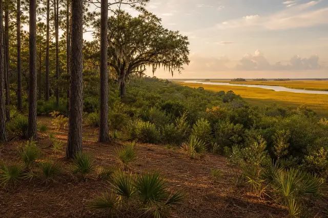
East Cooper Land Clearing pairs Mount Pleasant property owners with a local land clearing contractor for marsh buffer & edge clearing in Mount Pleasant and the East Cooper communities around it.
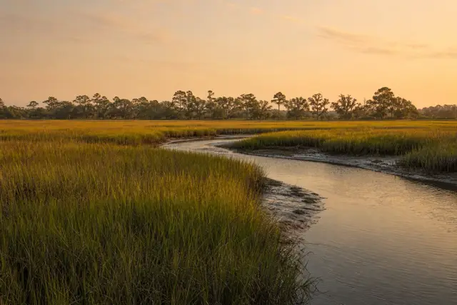
Marsh-front property is the Lowcountry's prize. The growth along its upland edge — myrtle, cedar, vine tangle — is what stands between a house and its view. Clearing that buffer is legitimate work with a hard legal boundary running through it, and this page states the boundary plainly rather than pretending it is not there.
The boundary is the critical-area line. The South Carolina Department of Environmental Services, Bureau of Coastal Management — successor to SCDHEC-OCRM after the 2024 state restructuring — holds direct permitting authority over coastal waters, tidelands, beaches, and dunes in the eight coastal counties, Charleston and Berkeley included. No clearing happens on the water side of that line without a critical-area permit, and applications carry a $250 fee for minor projects and $1,000 for major ones.
The honest shape of the service, then, is this: the work happens landward of the line. Selective mulching and hand cutting thin the upland buffer to open sightlines across the marsh. When a project runs close to the line, the line gets located and the permitting question gets answered before equipment arrives — not discovered afterward in a notice of violation.
The ground itself enforces the same restraint the law does. The Bohicket soils of the tidal flats are very poorly drained marine muck, flooded daily by the tides, and they will swallow a machine that ventures onto them; work near the edge is done from firm upland ground or by hand. On the sandy side of the transition, ordinary equipment operates normally.
For a marsh-edge parcel on the Wando, along Shem Creek, or behind Sullivan's Island, East Cooper Land Clearing connects you with a contractor who treats the critical-area line as routine. The edge gets walked with you before anything is priced. The quote comes back free and itemized.
What the buffer earns its keep doing
The strip of myrtle, cedar, and oak along a marsh edge is working infrastructure, not just scenery in the way of scenery. It filters yard runoff before it reaches the creek, anchors a bank that tides test twice a day, and holds the shade and cover that SC DNR identifies as essential to the estuary food chain that makes Lowcountry creeks worth living on. Flattening it trades all of that for a view that erosion will eventually tax.
The better trade is the view corridor: framed windows cut through the buffer at chosen angles, with selective thinning and limbing elsewhere to layer the vegetation rather than remove it. ISA pruning guidance covers the technique side, and the result is a marsh view with a living frame that keeps doing its structural work.
Locating the line before the machine arrives
On a marsh-front job the critical-area line is the first thing established and the last thing argued with. The practical sequence is short: the line gets located and flagged on the ground, the work area is documented with photographs before cutting, and every cut stays landward of the flags. Waterfront parcels inside Mount Pleasant can carry town-level overlay requirements on top of the state's, so both layers get answered before equipment mobilizes rather than after a complaint.